Helium field system for real-time soil-gas measurement
An integrated hardware–software analytical complex for high-precision in-situ measurement and registration of soil-gas parameters in real time — with automated quality control on every measurement, so data is verified continuously against established quality criteria.
- Detection limit
- 0.01 ppm
- Analytical resolution
- 0.001 ppm
- Repeatability
- ±2 %
- Full analytical cycle
- ≤ 5 min
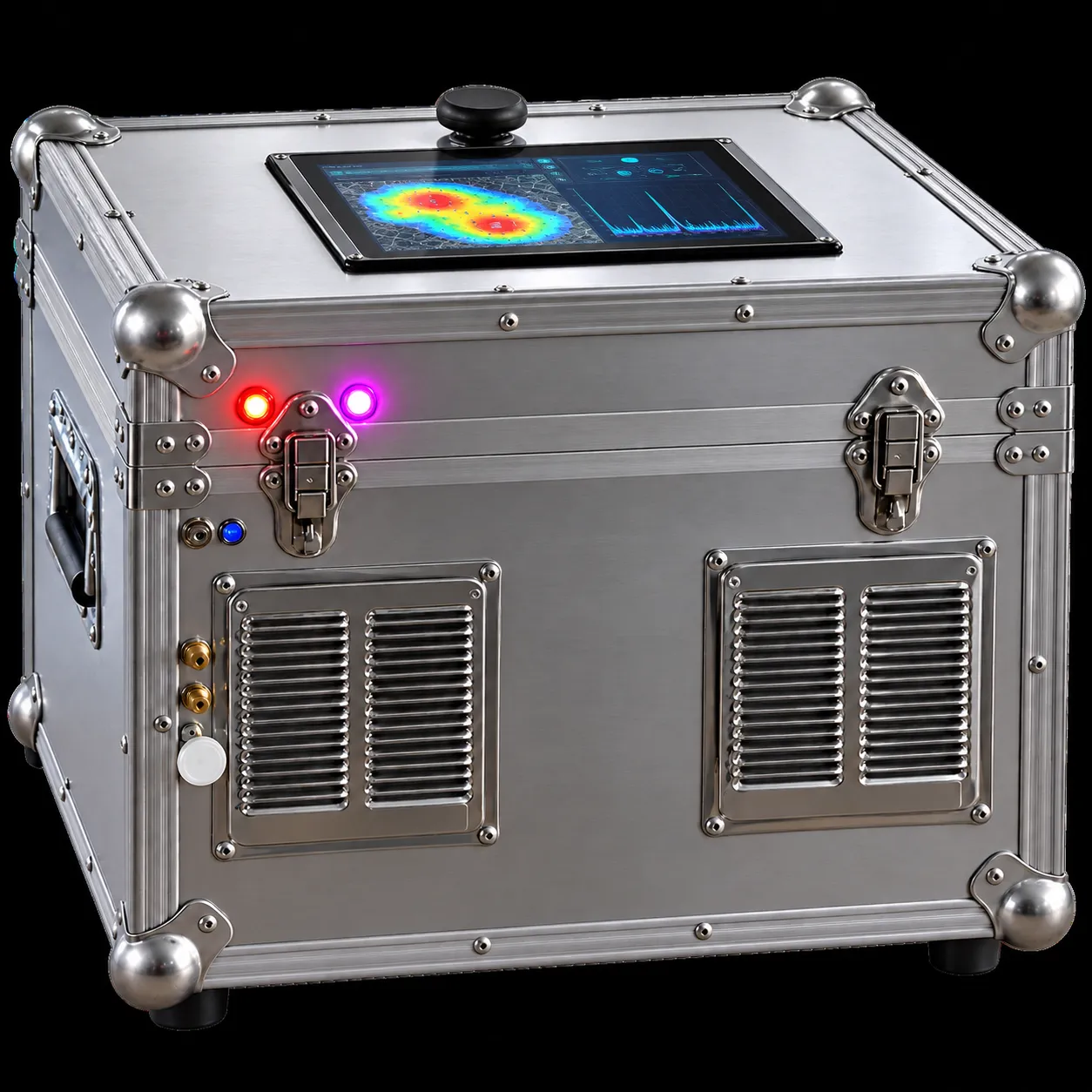
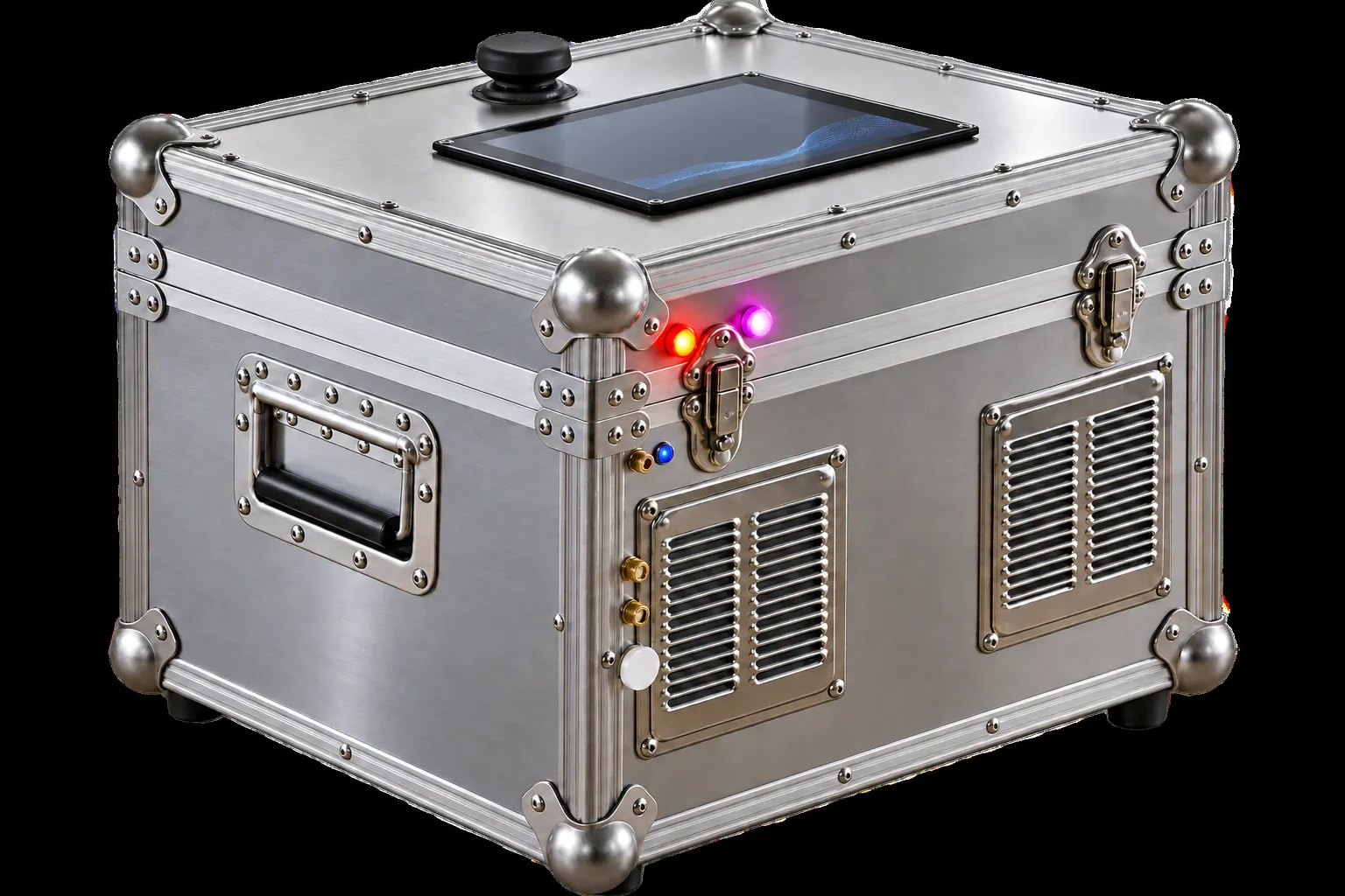
Field systems available in 3 modifications
- THIS PAGE
H-Logic 2/24
With digital display
H-Logic 3/25
Without digital display
H-Logic 4/26
Without digital display, reduced dimensions
01Technical specifications
Every measurement verified as it is made
The field system is designed for high-precision in-situ measurement and registration of soil-gas parameters in real time, using installed software and an automated quality-control system for every measurement.
Measurement9 PARAMETERS
- Type of analytical complex
- Integrated hardware–software analytical complex
- Measured component
- Helium (He)
- Measurement method
- Direct in-situ measurement in real time
- Detection limit
- Not more than 0.01 ppm
- Measurement range
- 0.01–10 ppm
- Analytical resolution
- 0.001 ppm
- Analytical repeatability
- Not worse than ±2%
- Long-term metrological stability
- At least 12 months without deterioration of metrological characteristics, subject to operating regulations
- Full analytical-cycle duration
- Not more than 5 minutes
Quality control8 PARAMETERS
- Quality-control type
- Continuous automated real-time QA/QC
- Measurement-cycle control
- 100% of measurements
- Automatic QA/QC
- For each measurement
- Rejection if leak-tightness is violated
- Automatic, 100% of cases
- Compliance with established quality criteria
- Checked for each measurement
- Data completeness and reliability control
- Automatic
- Diagnostic parameters
- Recorded automatically for each measurement cycle
- Transfer of QA/QC results
- Automatic, to a centralised database
Data & positioning7 PARAMETERS
- System type
- Automated digital system for recording and processing analytical data
- Primary data recording
- Continuous, automatic — at least 1 record per second
- Statistical processing
- Automatic, for each measurement cycle
- Archiving of primary data
- Automatic, 100% of measurements
- Geographic referencing
- Automatic (GNSS)
- Time synchronisation
- UTC
- Data transmission
- Automatic, to cloud storage
Operation5 PARAMETERS
- Control software
- Specialised NeuronOil software
- Technological parameters
- Recorded and controlled continuously
- Environmental parameters
- Monitored continuously
- Compensation for external factors
- Automatic
- Multi-system operation
- Up to 30 synchronised field laboratories
02The method
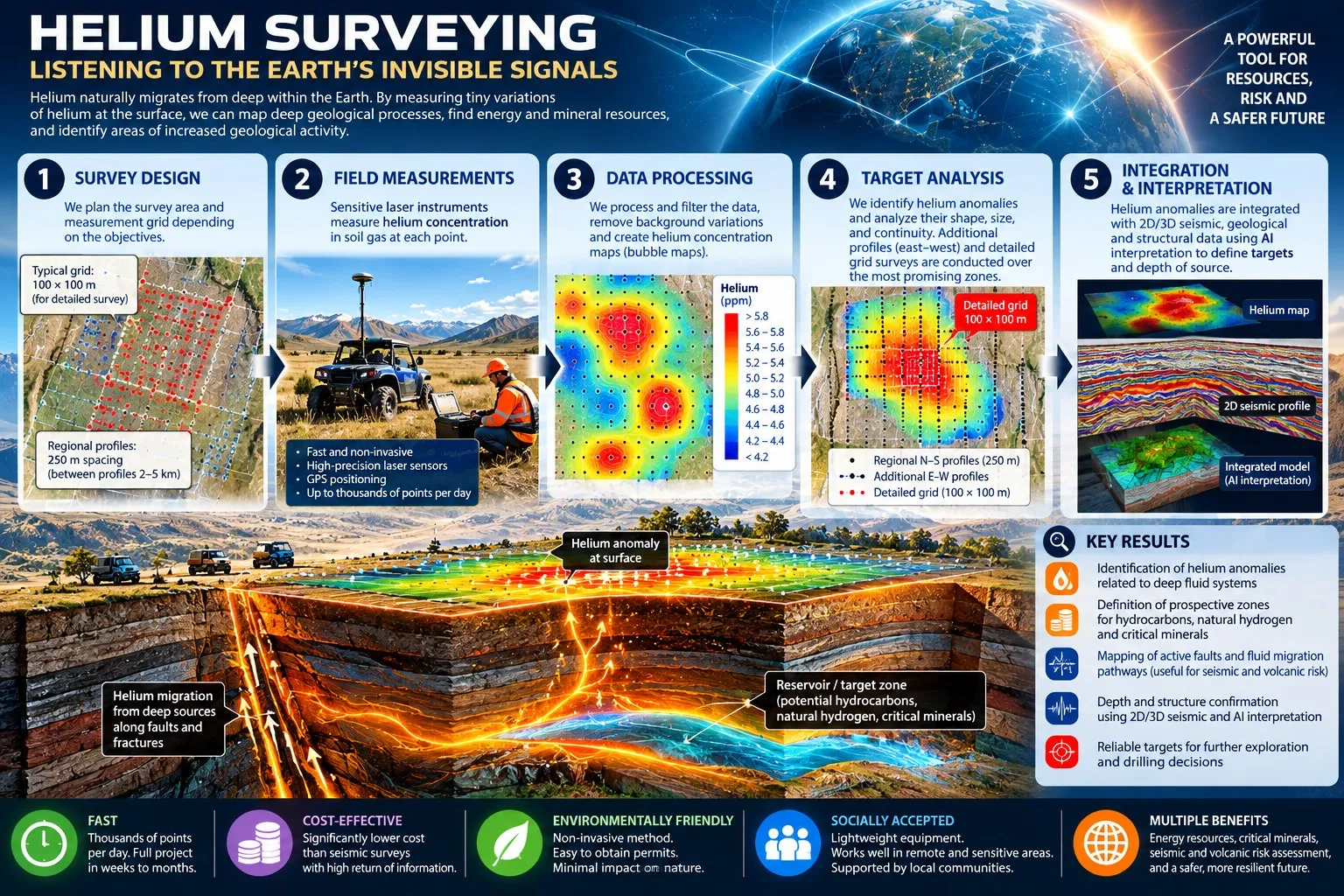
Helium surveying — listening to the Earth’s invisible signals
Helium migrates naturally from deep within the Earth. Measuring tiny variations of helium at the surface maps deep geological processes, points to energy and mineral resources, and identifies areas of increased geological activity.
- 1Survey designSurvey area and measurement grid planned around the objectives — regional profiles at 250 m spacing, detailed grids of 100 × 100 m.
- 2Field measurementsHelium concentration measured in soil gas at each point, with GNSS positioning — up to thousands of points per day.
- 3Data processingData filtered, background variations removed and helium concentration maps produced.
- 4Target analysisAnomalies analysed for shape, size and continuity; additional profiles and detailed grids over the most promising zones.
- 5IntegrationHelium anomalies integrated with 2D/3D seismic, geological and structural data to define targets and depth of source.
Fast
Thousands of points per day; a full project in weeks to months.
Cost-effective
Significantly lower cost than seismic surveys, with a high return of information.
Low impact
Non-invasive, lightweight equipment; easy to permit; works in remote and sensitive areas.
Multiple uses
Hydrocarbons, natural hydrogen, critical minerals, and seismic and volcanic risk assessment.
Survey concept
Automated mobile heliometric survey with the HPR-20 R&D
Rental enquiry
Rent the H-Logic 2/24 for your survey
Tell us the survey area, the grid and the timeline. Up to 30 field laboratories can operate synchronised on one project.